Lulworth Range Walks 2026
Walking routes from Tyneham village across the Jurassic Coast
By James Langton · Updated May 2026

The Lulworth Range walks are some of the finest coastal walking in Dorset, largely because the military has kept the land undisturbed for 80 years. The clifftops are free of development, the views uninterrupted, and the paths quieter than the tourist honeypots nearby. All routes start from the Tyneham village car park (postcode BH20 5QH).
Walk 1: Tyneham to Worbarrow Bay (Easy)
2 miles return
45–60 mins
Easy
The most popular short walk from Tyneham. From the car park, walk through the village and follow the signed path south down the valley. The path descends gently through open grassland, with views opening up towards the sea as you approach the bay.

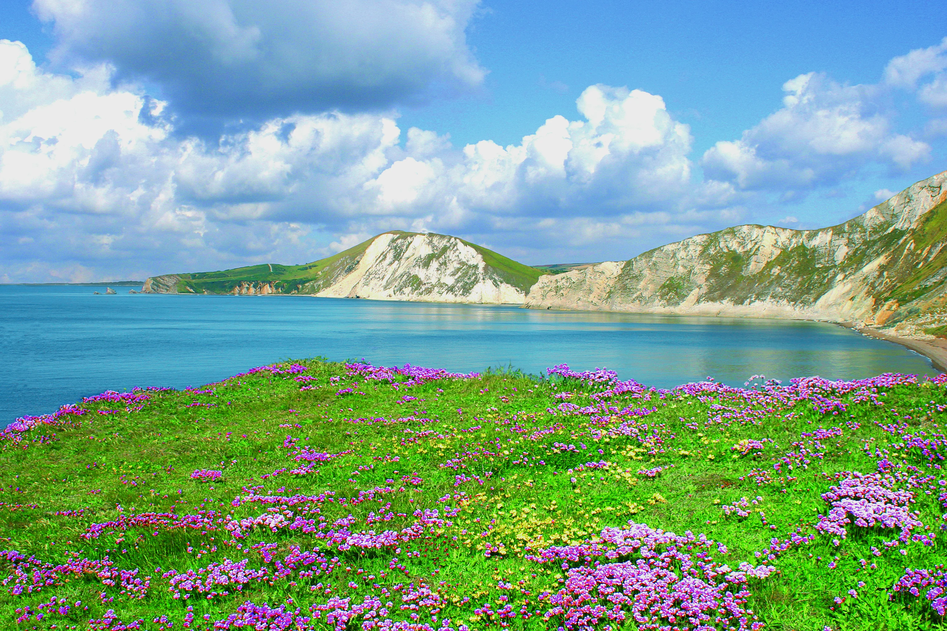
Worbarrow Bay is a wide shingle bay backed by dramatic cliffs. It gets no vehicle access and sees far fewer visitors than Lulworth Cove or Durdle Door. Swimming is possible but the beach shelves steeply, so take care in the water. There are no facilities; bring water and food.
Return the same way (uphill back to the village), or (if you're feeling adventurous) continue west along the coast path up Worbarrow Tout for the longer routes below.
Walk 2: Tyneham to Gad Cliff circular (Moderate)
4 miles circular
2–2.5 hours
Moderate
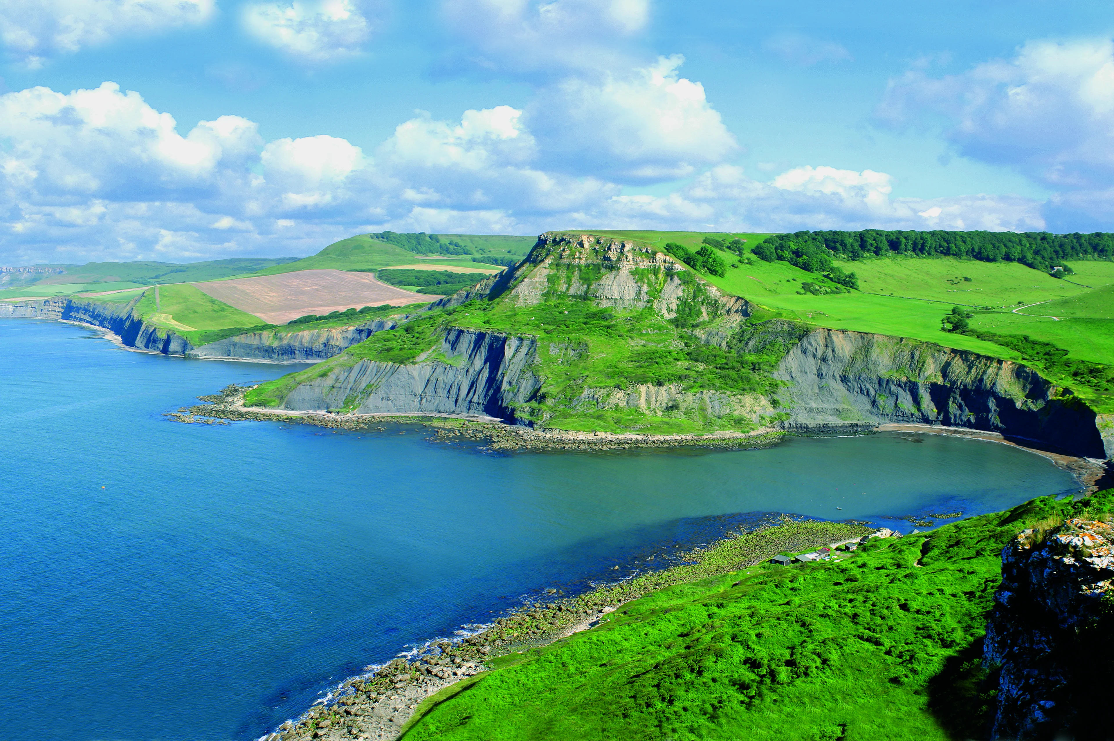
A rewarding circular walk that takes in Gad Cliff, the dramatic headland directly above Tyneham. From the car park, head south towards Worbarrow Bay, then climb west up Worbarrow Tout. Follow the clifftop path westwards past Gad Cliff: one of the most dramatic viewpoints on the Jurassic Coast, with sheer drops to the sea below and panoramic views east towards Purbeck and west towards Lulworth.
From Gad Cliff, the path descends inland back into the valley above Tyneham village, completing the loop. The descent is steep in places, so good footwear is required.
Walk 3: Tyneham to Flower's Barrow hillfort (Moderate)
3.5 miles circular
1.5–2 hours
Moderate
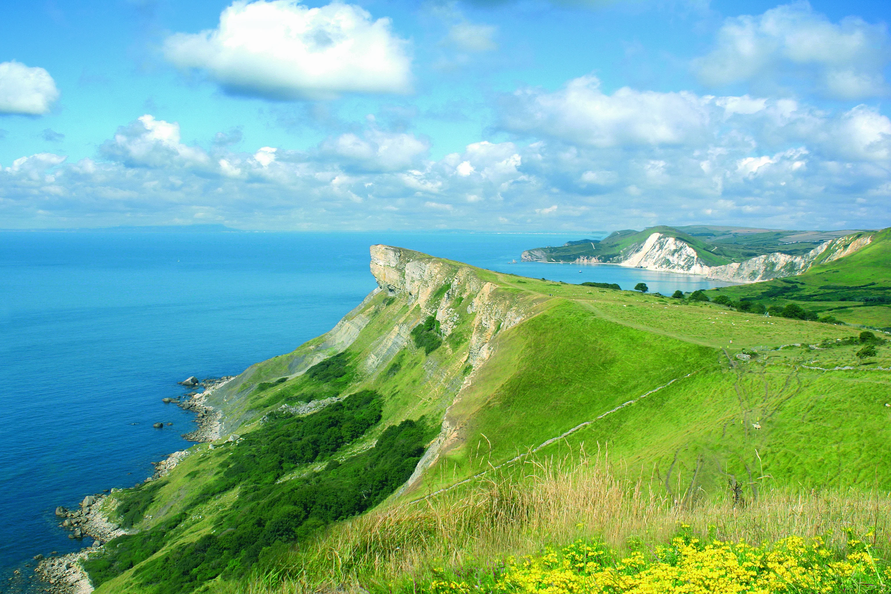
From the car park, take the signed footpath west and north up towards the ridge. The path climbs through chalk grassland to the ramparts of Flower's Barrow, an Iron Age hillfort perched dramatically on the cliff edge above Worbarrow Bay. Around half the original hillfort has been lost to coastal erosion over the centuries (the southern ramparts now drop straight into the sea), making this one of the most visually dramatic Iron Age sites in southern England.

The views from the ramparts are exceptional: Portland Bill and Weymouth Bay to the west, the full length of Worbarrow Bay below, and the Purbeck Hills rolling away to the east. Philip Draper, one of Tyneham's original residents, ranked the hillfort alongside Maiden Castle in historical importance, calling it the only coastal hill fort in England. From Flower's Barrow, descend south towards Worbarrow Bay, then follow the valley path back to Tyneham village to complete the loop.
Walk area map
All three routes start from Tyneham car park and cover the coastal area between Worbarrow Bay and Flower's Barrow.
Getting to the starting point
All three walks start from the Tyneham village car park. Use postcode BH20 5QH for sat nav (or What3Words ///laws.processes.reflect for the car park entrance). Parking is free; a £2 donation per car is requested via the honesty box. The car park is only open when the ranges are open, so check the 2026 opening schedule before travelling.
What to bring
- Sturdy walking shoes or boots (paths can be muddy in winter and the clifftops exposed)
- Water (no cafes or shops anywhere on these routes)
- A map or downloaded OS route (no mobile signal in the valley)
- Dogs on leads (there may be livestock on some sections)
